Some fresh snow fell on ski areas in Vermont yesterday, most notably at the northern resorts, and today it is darn chilly and that is just fine with me! The ski resorts are reporting that they are cranking out the snow from their snowguns and snow fans.
In other news, I came across some interesting techie news recently ... I’ve learned of two Vermont ski resorts that are now viewable with the “street view” feature that is available on Google Maps. They started with Whistler Ski Resort for the 2010 Winter Olympics, and now Google snowmobiles have started to descend and document ski trails around the globe.
Follow these links to see a trail-level view of <link http: maps.google.com external-link-new-window mountain trail>Burke Mountain and <link http: maps.google.com external-link-new-window mountain trail>Stowe Mountain. It appears that the Google snowmobile visited in the spring time to gather the images.

If you click and drag the yellow “street view” man around and then hover over the ski slopes, the available “street view” trails become highlighted in blue. And when you drop the little guy onto a trail, he turns into a skier with a helmet on. After he lands, click on the arrows in the snow to move around a trail. And to look all around you, spin or click the disk in the top left of the screen.
I noticed that the Google snowmobile did not document the Front Four at Stowe. Perhaps they should make a winch-mobile to shoot the steeps and bumps!
Some ski resorts with Google “street view” / trail view feature
<link http: maps.google.com external-link-new-window mountain trail>Burke Mountain Resort, Vermont 
<link http: maps.google.com external-link-new-window mountain trail>Stowe Mountain Resort, Vermont
<link http: maps.google.com external-link-new-window wildcat>Wildcat Mountain, New Hampshire
<link http: maps.google.com external-link-new-window attitash>Attitash Mountain, New Hampshire
<link http: maps.google.com sugarloaf>Sugarloaf Mountain, Maine
<link http: maps.google.com butternut>Ski Butternut, Massachusetts
As well as:
<link http: maps.google.com external-link-new-window>Beaver Creek, Colorado
<link http: maps.google.com external-link-new-window snowbird>Snowbird, Utah and
Breckenridge, Colorado
Squaw Valley, California
Deer Valley, Utah
Crystal Mountain, Washington
Whistler / Blackcomb, British Columbia
<link http: maps.google.com intl en help maps streetview>which are accessible here.
Have you come across others?
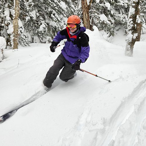
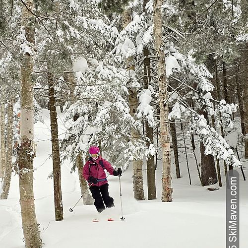
Images are of the Google Maps interface showing a run and view from Burke Mountain, and Google's little skier dude.